Thesis
Spatial Ecology of Gila Monsters
Project Overview
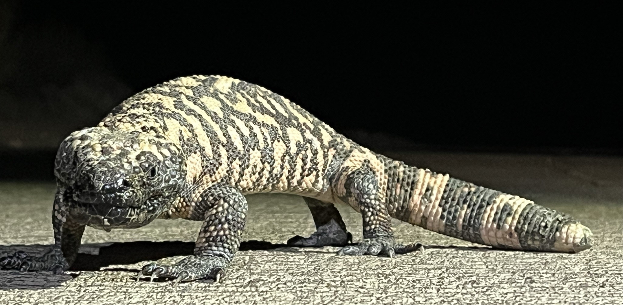
As a graduate student at Austin Peay State University, I have been working since August 2022 to extract and analyze Gila Monster (Heloderma suspectum) telemetry and environmental data. Gila Monsters are long-lived, venomous lizards native to the southwestern United States and Northern Mexico. Gila Monsters are typically highly philopatric animals that maintain a well-defined home range. The size of an individual's home range may vary as specific resources fluctuate in abundance, and resource quality and abundance can ultimately be influenced by the environment. Gila Monsters live in a highly environmentally variable habitat where resources can vary considerably depending on the time of year and location. This environmental variability results in part from complex interactions between the El Niño Southern Oscillation, Pacific Decadel Oscillation, montane effects, and seasonal cyclones. Continued urban sprawl and habitat fragmentation also play a part in the environmental variation Gila Monsters experience. To better understand how Gila Monsters can be impacted by both natural and anthropogenic environmental variation, I will compare several variables as proxies of overall environmental quality (resource abundance, temporal resource consistency, habitat productivity) to annual home range size.
Preliminary Results
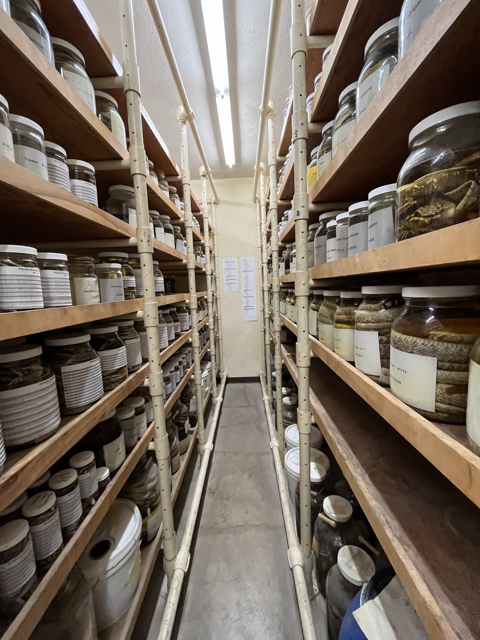
After compiling telemetry data provided by several coauthors of this project, I was able to calculate annual home range size for each individual animal in a given year using the 95% Weighted Autocorrelated Kernel Density Estimation Method. To extract the necessary environmental data, I used both Google Earth Engine and ClimateNA. Google Earth Engine was used to extract MSAVI2 data for each telemetry point, as well as MSAVI2 data from the year prior (timelag) to each telemetry point. Precipitation and temperature data were extracted from ClimateNA. Finally, terrain ruggedness was calculated using the terra package, with an elevation raster from the elevatr package as the input. Once environmental values for each telemetry point were calculated, data was averaged across a single annual home range to result in a single value for each environmental predictor variable for each annual home range measurement. All predictor variables were then scaled and centered to facilitate comparisons.
To analyze the significance of my predictor variables in determining home range size, I created a linear mixed effects model of all environmental variables as predictors and WAKDE home range size as the response variable, with ID as a nested effect of Site. Prior to model creation, I centered and scaled all environmental predictor variables to standardize interpretation of results. I then examined the data to ensure that multicollinearity was not an issue. Due to the difficulties in attempting to calculate a lambda value for a linear mixed effects model, I instead attempted to find the best model family and link function for my data by manually creating and comparing the AIC scores of multiple models using all applicable family and link options. The top model in this analysis used the gamma family with a log link function. This model was then dredged to find the top combinations of models with ΔAIC values less than 2. Model averaging of these top models was then employed to create the final model, which had the following variables as significant predictors: terrain ruggedness index, winter precipitation, timelag winter precipitation, timelag MSAVI2, temperature seasonality, precipitation seasonality, and timelag summer precipitation.